Sunday, September 26, 2010

Day 18 Wallace, MT to Pendleton, OR

We started out from Wallace and drove to Lake Coeur d'Alene, ID.  The lake is very large and very pretty, but there weren't many public access areas.  Most of the lake is developed with private cabins and lakefront homes. We drove around the lake on a nice scenic byway.

After leaving the lake, we headed southwest towards Walla Walla, WA, then on to Pendleton.  We are at Will's and Christina's and GLAD to be here!  It was a wonderful drive, but we are both ready for a few days not in a car!!


Much of the rest of Idaho, eastern Washington, and eastern Oregon looked (Beth said) like sand dunes.  The dunes getting smaller along the way. 


Day 17 Waterton AB to west side of Glacier to Wallace MT

We overnighted in a nice basement apartment in a picturesque motel in Waterton.

All our junk is about packed up to go (lower left). 


We took the 10 AM tour boat.  In the background is the Prince of Wales Hotel.  
It is where the Queen would stay.  There used to be several grand hotels about this lake which falls across the US/Canadian border into Montana (Glacier Park).  The Grand Hotels were built in the early 1900's.  Guests would travel by horseback expedition from one to another.  Beth learned about this boat tour online.  It was the only one still in operation this late in the season.  


Note the castle-like appearance of this mountain.  It's a popular place for climbers.


Can you find the Canada/US border? It's a mowed strip.  The boat has to slow down as it crosses the border.

At the far (south) end of the lake, looking back


At the south end of the lake this ranger station is the point of entry if you take the 9 mile hike down from Waterton.  


We did not see any bears or wildlife that the guide said are abundant in summer. 

Back to Waterton.  This was a windy, freezing  ride.  We had packed winter weight clothes and we used them on this day!

After Waterton, we headed south back into US and around the south of Glacier

Upstream from Lake McDonald was a series of falls.  

Lake McDonald.  Sun was scarce along Into the Sun Highway 

Headed for Wallace. In MT the speed limit is reduced to 65 mph.  Generally sharp curves have solid yellow lines.  Hair-pin curves may have 45 mph caution signs.  


Saturday, September 25, 2010

Day 16 Grand Rapids to Glacier Nat'l. Park and Waterton, AB, CA

In upper Montana, there's open range, so restricted access highways are protected by cattle grids.  We are passing through Blackfoot Country headed toward St Mary's entrance on the east side of  Glacier Park.

Headed into West Glacier.   Ranger said it is this windy often.  We estimate 50 mph


St Mary Lake at West Glacier.  

We found road construction here too.  Traffic took turns one way.

Logan Pass  here was the end of the road from East Glacier entrance.  We had planned to drive the scenic road "Into the Sun Highway", but the high pass in the middle of the park was closed.  
Tomorrow we circle around outside the park and do west end of "Into the Sun Highway". 

Spectacular scenery at Logan Pass Station where we turned around. 


Waiting our turn to go back through the road construction area, we saw this guy.  He paid us no attention.

The goat jumped the fence and went down here.

We waited about 20 minutes.
For this construction line.

Most of the snow on the mountains actually fell last week, but here's the glacier.  Beth found it.

Scenic stops on the way out

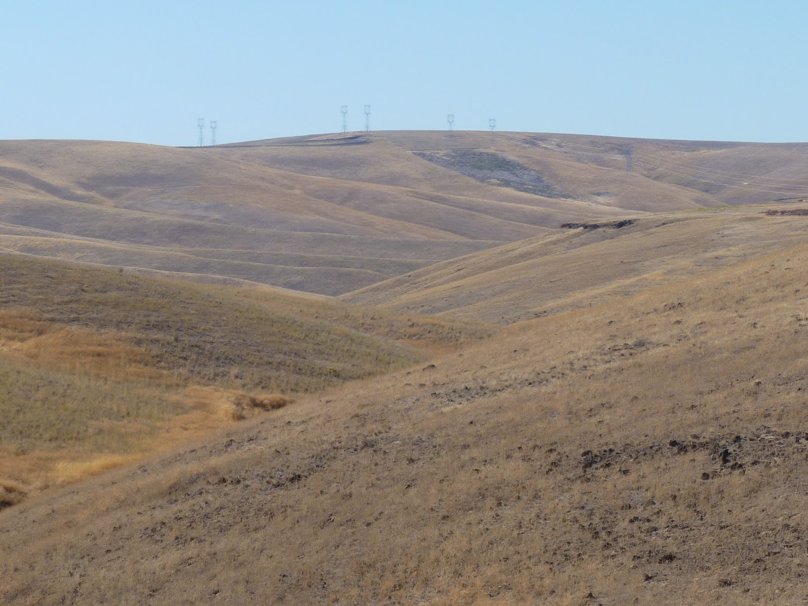
Scenic farmland on the way to Waterton AB

It's getting dark as we approach Waterton.


Beth's postscript

As we approached Glacier,  we could see the mountains miles ahead.  Each turn in the road brought them closer. The views of the mountains were gorgeous; it was like a picture postcard.  We had been warned that the road was closed by some other travellers, so we knew what to expect.  

When we crossed over into Canada, we drove north of the mountains, then drove south again.  If possible, a more spectacular approach.  Waterton Village is a quaint little place with a few gift shops, restaurants, inns and motels, and private cabins.


Wednesday, September 22, 2010

Day 15 Red Lodge MT to Great Falls, MT


We started out in the rain, then picked up US 89 off US 9O, much of the way approximating  Lewis and Clark route. The Sheldon Valley below was was named for some Sheldon guy who was part of their expedition. The bronze statue here named is Thunder Jack and depicts the tough and resourceful mountain man.  I had learned at the Cody Museum that these bronze statues are cast in sections and assembled.  Weather was rainy then clowdy, yet the sky goes for miles.  This is the Big Sky State for you.  
   

Near Great Falls, we passed sluice box park.  Silver was discovered near here in 1879. The limestone cliffs are filled with caves.  There had been 5" of snow nearby last week.
  

Supper at the Cattleman's Club Restaurant was very tasty and filling.


Day 14 Cody, WY to Red Lodge, MT

We are not any closer to our next big destination, Glacier NP, than we were 2 days ago, but we have enjoyed some never-to-be-forgotten scenery today.

Before we left Cody this morning, we visited the Buffalo Bill Cody Museum.  There was a HUGE gun collection (over 2500).  I'm not into guns, so after a while they all looked the same to me.  Next was the western art exhibit, which I thoroughly enjoyed.  Then a museum of the Plain Indians and a museum dedicated to Buffalo Bill himself. All of the exhibits were interesting, and someone could easily spend 2 days looking at the displays.


The rest of the day we spent exploring the scenic roads around Cody and into Red Lodge.  We drove back towards Yellowstone on the same road  we travelled after dark last night- the Buffalo Bill Highway.  It was worth the effort:  The rock formations, mountains, and valleys were very impressive.


  After we went back through Cody, we drove the Chief Joseph Scenic Byway.  Again, the views were breath-taking.


We turned onto the Beartooth Scenic Highway at the end of the Chief Joseph.  Several people who had been out west had recommended that we drive this route.  WOW!WOW!WOW!  It was a hair-raising ride.  We climbed up mountains with hairpin turns, then drove down on the other sides.  Most of the road was narrow and steep.  The highest point was close to 11,000 feet. We seldom saw another vehicle--it felt like we were the only humans on the planet most of the time.  Enjoy the pictures.  They don't do the scenery justice.


We got into Red Lodge about 8PM and are now doing laundry.  Oh,  the joys of extended travel.

Bill's PS:   Sometimes granite mountains resemble castles or other structures. How about a stone "fort"?