Wednesday, May 2, 2012

Burns & Malheur National Wildlife Refuge to Pendleton Apr 20

This is the last day of our tour from Pendleton.  Can't wait to get back to see our first grandchild.      s
 On the road to Malheur National Wildlife Refuge, we approach the back end of a cattle drive crossing the road.


A map of the refuge area.  We only did about half of the water body on right

The refuge and much of the surrounding lands contain highland wetlands. Average rainfall is less than one inch per month.  The wetlands are fed form ground water issuing from surrounding mountains as you can see in background.


Center: you see a couple of burrowing owls.  These are among he smallest owls.  They live in burrows dug by other animals.  As shown in the following photos, there is plenty of watchable wildlife.


On the road back to Pendleton

Welcome to John Day, one of the bigger towns on the way back to Pendleton.

John Day River


Back with awesome hosts

Sunday, April 29, 2012

Auburn, CA via Winnemucca, NV to Burns, OR


Sun about to set a good 80 miles to Burns.  Miles with no houses in sight.  After dark an occasional pole light.

Saturday, April 28, 2012

Oakhurst to Auburn, CA April 18

We left Oakhurst headed north on Rt 49.  Roadside scenery included rocks, wildflowers, mountains and small towns


Flowers did a lot to brighten teh scenery


Photo trying to capture how the granite glistens in sunlight


Passing through Calaveras.  County has the big bullfrog jumping contest

Thursday, April 19, 2012

Sequas and Oakhurst CA - April 18

We woke up in Oakhurst and drove up to The Mariposa Grove, near Yosemite's South Entrance, contains about 500 mature giant sequoias. i'm including a couple short videos of livelyl little streams


That's me standing beside the one called Fallen Monarch.
The forest  is maybe five percent Sequoyas. This is about as man y as you see together. 
Find Beth standing left of th tree

Small bush with needle-like thorns
Below is some other plant on fast little stream 


Add caption


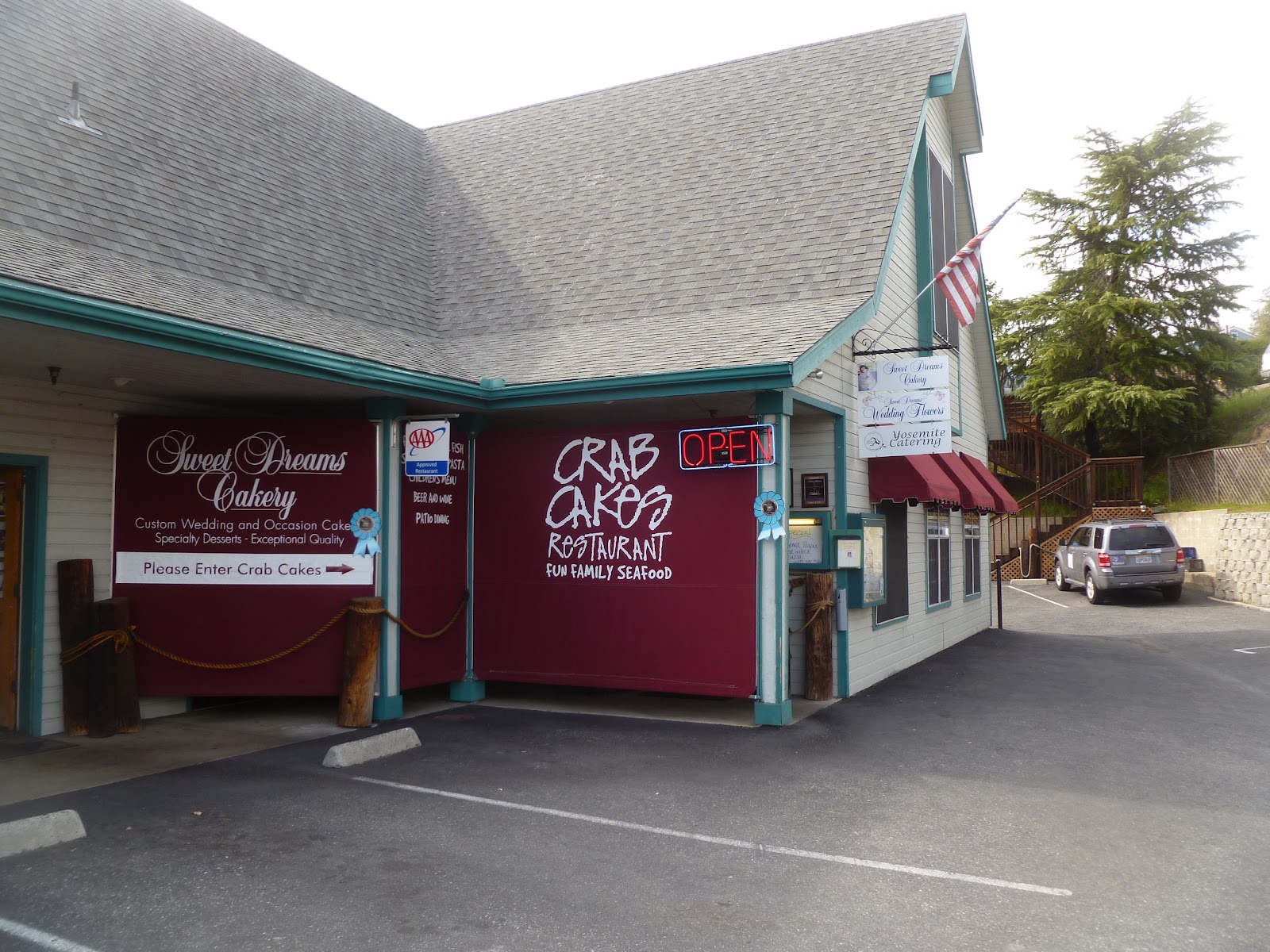
On the way back through Oakhurst, we ate at this restaurant /bakery and caterer.  They had a nice shaded patio area out back.  We overheard a lady in a group of story tellers direct the topic back to herself - "Now, back to me" - like she hadn't had plenty of say already

Yosemite, April 17


Entering the Park


We visited Yosemite, one of the first wilderness Parks in the US.  The park valley was free of snow and the warm weather allowed tours in  open tramss ear;y this year, so we took one.   Following are some of our photos.
Bridal veil falls at about 2 O clock (position)   

Tunnel view (similar to Inspiration Point view).  El Capitan left and Bridal  Veil f Falls near center

closer view shows Half Dome in background

Ribbon Fall,flows off a cliff on the west side of El Capitan, and is the largest single-drop waterfall in North America. The fall is fed by melting winter snow; while therefore dry for much of the year, the fall is a spectacular 1,612 feet (491 m) in the spring.

El Capitan is a vertical rock formationlocated on the north side of Yosemite Valley, near its western end. The granite monolith extends about 3,000 feet (900 m) from base to summit along its tallest face, and is one of the world's favorite challenges for rock climbers.   
The Nose was first climbed in 1958  in 47 days using "siege" tactics: climbing in an expedition style using fixed ropes along the length of the route, linking established camps along the way.  Expert climbers now climb it in 4-5 days, but the record is less than three hours.
They once said Half Dome never has been, and never will be trodden by human foot.  It was first climbed in 1875.  today with teh help of hand cables it is a difficult day's vertical hike  

Yosemite falls - tallest falls in North America


one of he critters we saw