We left the RV capground at Pahrump headed for Death valley.
As we approached death Valley Junction we saw the water tanks and then a ghost town from the 1920's that had been built by a borax company
the opera house (below) is not original to the town, but was developed during years following 1967

We saw a sign for 20 mule Team Road and decided to take this less traveled one way path.

There were sharp curves and deep ruts. Here we are looking down one of the steep grades.
After we made it out, we read that road is impassable to RVs. Oh, well...
In the AM Oct 21, We awoke at Stovepipe Wells campground. As in other federal parks, my (Bill) senior pass got us free admission and half price camping (<$10), and we headed out to see the some sights pointed out to us by welcome center folk
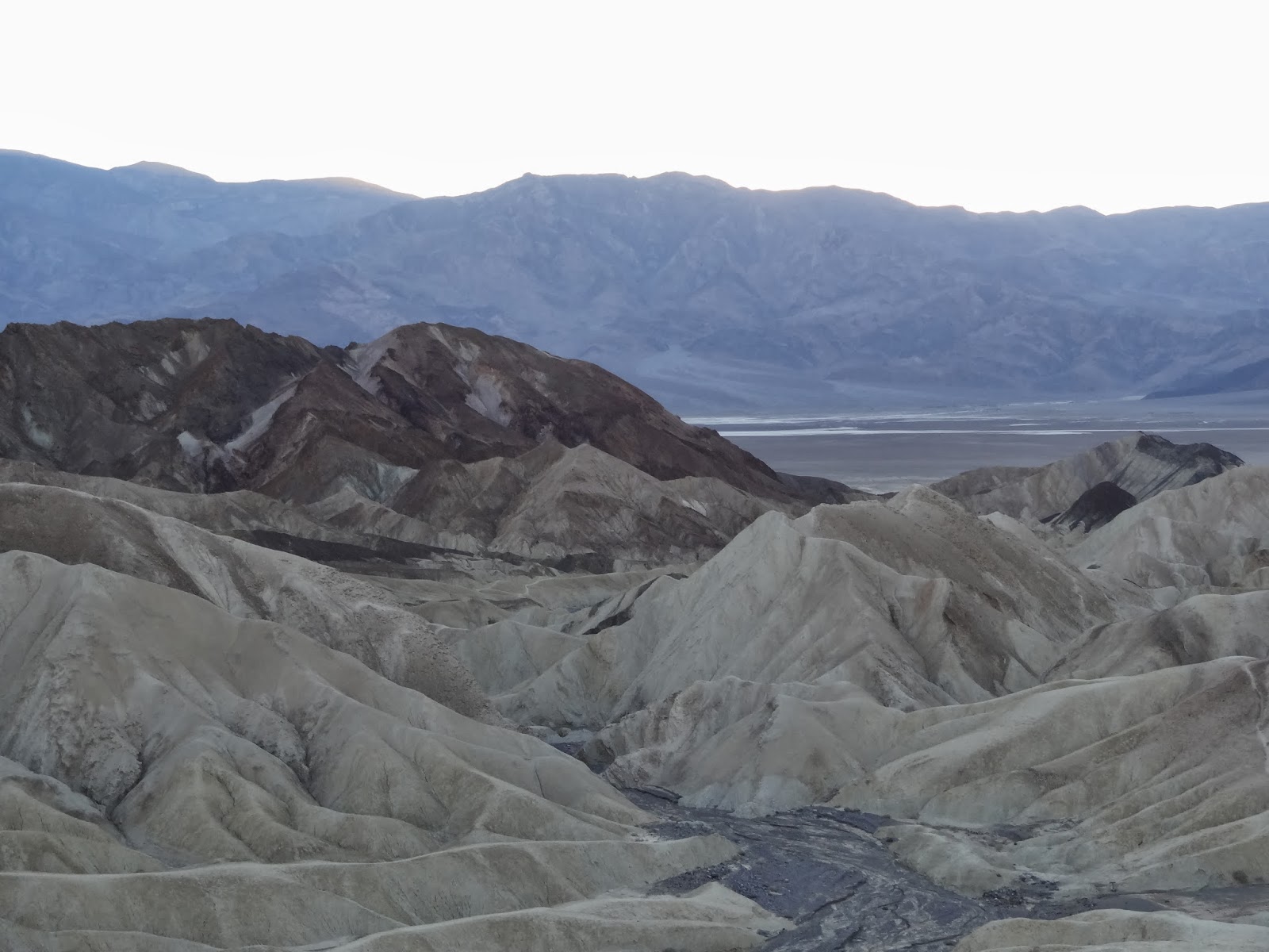
Then we headed to Zabriski point
then to the site of an old borax mine and processing site.
The famed twenty mule team consists of a driver, a swamper, 20 mules, a water wagon, and two freight wagons.
Who is manning those big wagon wheel brakes? Inspection shows brakes are connected by shaft to the wagon ahead, and as the wagon ahead slows, the shaft drives the brakes to the rear 6-7 ft wagon wheel.

A few picturesque ruins remain
of workmen's quarters.

Back on the road headed to Devils Golf ceourse, we see some mossy green color in th white/red/brown rock formations
The Devils Golf Course was so-named because only the Devil could play golf here. Walking here was allowed, but signs warned of serious injury.
This truly is rock salt!

This was formed by eroding away of salt. the idea is that salt and other minerals erode down from mountains, and salt being the most soluble erodes away.

Next we went to Badwater, the lowest point in the US.
Beth is walking on what looks like a salt Broadway

Under the salt walkway was water.
This place results from salt erosion of a different nature.
The road away from Badwater and west through the Death Valley and out to the west.
As we drive west, we are seeing our first Joshua trees.
They were plentiful on the hillsides.